The most reliable way to check crime near an address in Canada is to combine three things: your local police service’s official crime map or open data, Statistics Canada’s Crime Severity Index for the wider metro area, and your own visits to the street at different times of day. For context, Canada’s Crime Severity Index (CSI) was 75.0 in 2025, down 5%, but metro areas ranged from 46.9 in Barrie to 134.3 in Chilliwack. No single source tells the whole story, so use several before you sign a lease or make an offer.
Data: Statistics Canada, police-reported crime statistics for 2025 (released 22 July 2026), Crime Severity Index and incident-based crime tables. Figures are for whole census metropolitan areas unless stated. Comparisons that are not in the release are our own arithmetic. Updated 5 October 2026.
What is the quickest way to check crime near an address?
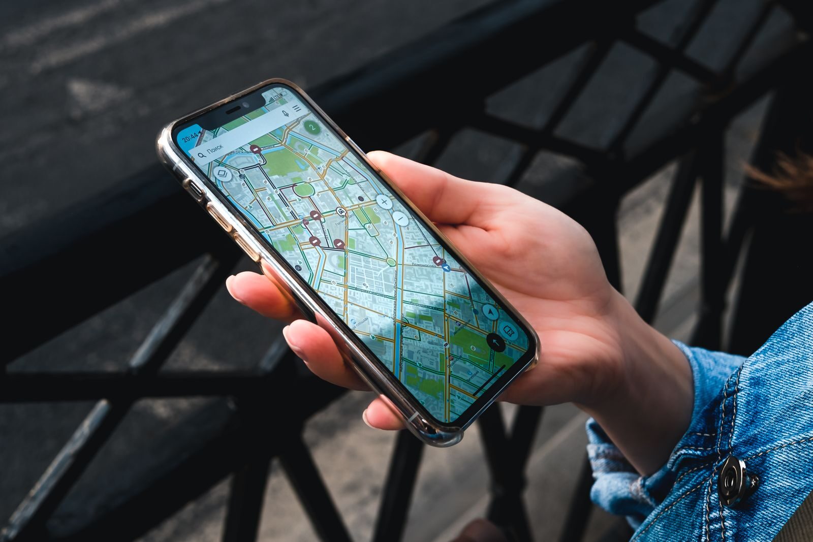
Start with your local police service. Many Canadian police services publish crime maps, open data or annual statistics on their websites. These show reported incidents by area and type, and they are the closest thing to street-level official data available to the public.
Then step back and look at the bigger picture with Statistics Canada, which publishes comparable figures for every census metropolitan area (CMA). Finally, go and see the place yourself. Data tells you what was reported; a visit tells you how the street feels and works day to day.
Where do I find official police crime maps and data?
The table below lists official sources for some of Canada’s larger cities and regions. What each one offers varies: some have interactive maps, others publish downloadable data or statistics pages. Coverage, categories and update frequency differ, so read each site’s notes.
| City or region | Official source |
|---|---|
| Toronto | Toronto Police Service open data |
| Montréal | Montréal crime data on Données Québec |
| Vancouver | Vancouver Police GeoDASH |
| Calgary | Calgary Police statistics |
| Edmonton | Edmonton Police neighbourhood crime mapping |
| Ottawa | Ottawa Police open data |
| Winnipeg | Winnipeg Police Service |
| Halifax | Halifax open data hub |
| Peel, York, Halton, Durham | Peel, York, Halton, Durham regional police websites |
| Hamilton, Saskatoon, Regina | Hamilton, Saskatoon, Regina police websites |
If your city is not listed, search your municipal police service’s website (or the RCMP detachment page for areas it polices) for “crime map”, “open data” or “statistics”. Our Canada crime map brings official figures together in one place.
How do I use Statistics Canada’s Crime Severity Index?
The CSI measures both the volume and the seriousness of police-reported crime. It gives more weight to serious offences, so a city with fewer but more serious incidents can score higher than one with many minor thefts. The crime rate, by contrast, simply counts Criminal Code incidents (excluding traffic) per 100,000 people.
Both figures cover a whole census metropolitan area, which usually includes suburbs and surrounding towns. They are useful for comparing regions, not individual streets. Here is how Canada’s six largest metro areas compared in 2025:
| Metro area (CMA) | CSI 2025 | CSI change vs 2024 | Crime rate per 100,000 |
|---|---|---|---|
| Canada | 75.0 | -5% | 5,585 |
| Edmonton | 95.6 | -7% | 7,463 |
| Vancouver | 83.5 | +1% | 5,672 |
| Calgary | 61.7 | -3% | 5,038 |
| Montréal | 61.3 | -5% | 3,641 |
| Toronto | 55.0 | -7% | 3,950 |
| Ottawa (Ont. part) | 50.6 | -6% | 4,212 |
You can look up any metro area in the Statistics Canada CSI table. Statistics Canada itself warns that the CSI is not a universal measure of safety, and that smaller metro areas can swing more from year to year.
Why should I visit the area at different times?
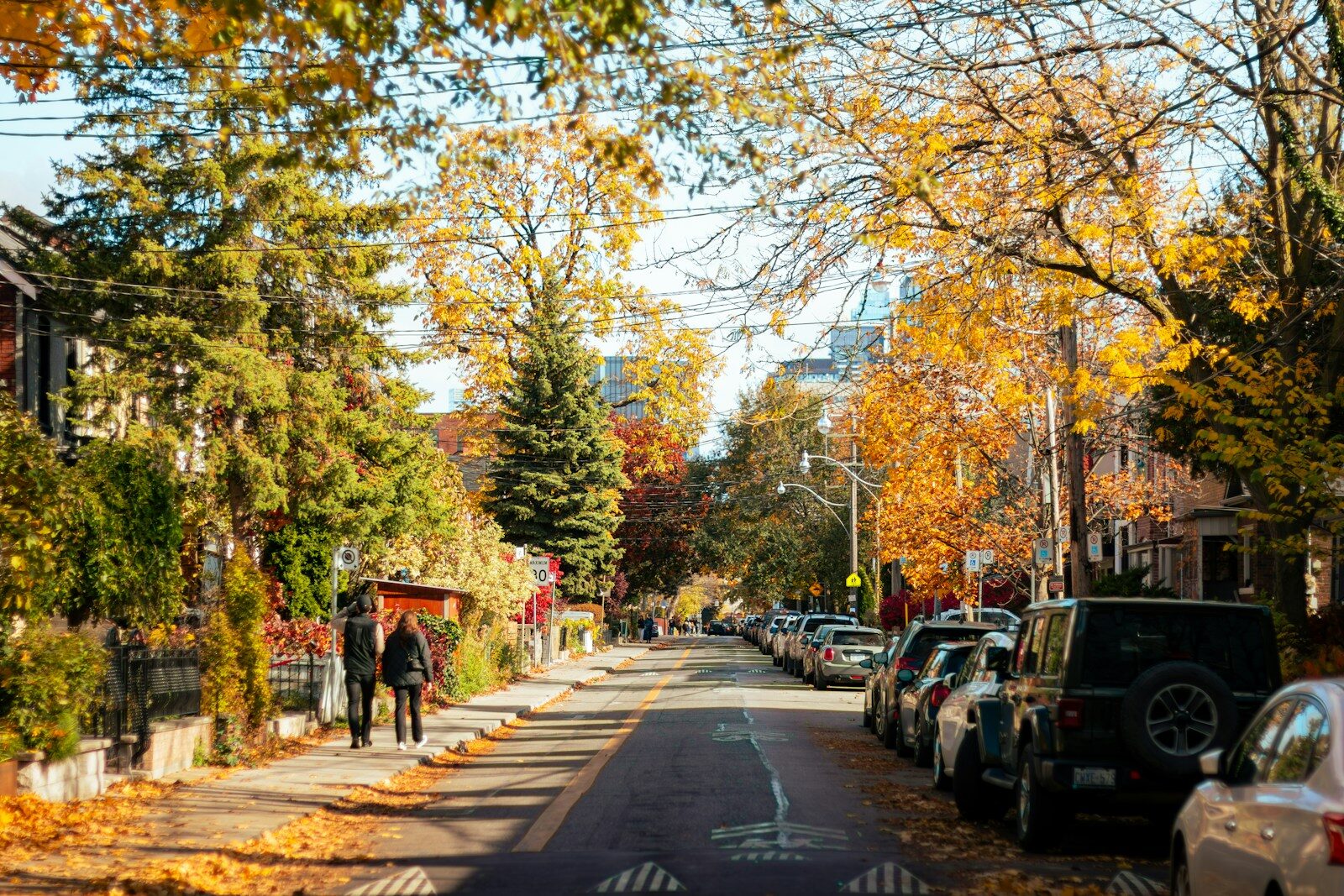
A street can feel very different at 8 a.m. on a Tuesday and at 11 p.m. on a Saturday. Before committing, try to visit:
- On a weekday morning, to see commuter traffic and how busy the street is.
- In the evening after dark, to check street lighting and how people use the area.
- On a weekend night, especially if you will be near bars, venues or a transit hub.
- On foot from the nearest bus stop or station, following the route you would actually walk.
Look at practical details: lighting on the path to the door, whether the entrance is visible from the street, how secure the building’s entry and parking are, and whether bikes and parcels are stored safely.
Should I talk to neighbours or the landlord?
Yes. People who live nearby often know things no dataset shows, such as recent parcel thefts, a car broken into in the shared garage, or a well-run building with a good security culture. Polite questions work best:
- Ask neighbours how long they have lived there and what they like or dislike about the street.
- Ask the landlord or property manager about door entry systems, lighting, cameras in common areas and how security issues are handled.
- For condos, ask whether recent security incidents have come up at board meetings.
- Check whether there is an active neighbourhood or community association.
Treat what you hear as one input. Personal experiences are valuable but can be shaped by a single event.
What are the limits of each source?
- Police maps and open data show reported incidents only. Locations are often generalised to a block or area to protect privacy, and categories differ between services.
- Statistics Canada figures are comparable nationally but cover whole metro areas. Rates are per resident, so places with many commuters, shoppers or visitors can look higher than the risk to people living there.
- Under-reporting affects everything. In 2019, only about 29% of victimizations were reported to police, so official data undercounts crime, especially some offence types.
- Site visits and neighbours give real local insight but are a small, personal sample.
Crime in most cities concentrates in busy places such as downtown cores, nightlife streets, shopping areas and transit hubs, because that is where people and property gather. A higher count near a station does not mean the residential streets around it are unsafe. Police data describes incidents, not the people who live in an area, so avoid drawing conclusions about residents.
How do I check crime near a specific address?
- Open your local police service’s official crime map or open data (see the table above) and look at the past 12 months around the address.
- Check the metro area’s CSI and crime rate on our Canada crime map or in the Statistics Canada tables.
- Compare two or three areas you are considering, using the same source and time period for each.
- Look at the type of crime, not just the total: theft from vehicles calls for different precautions than break-ins.
- Visit at different times, talk to neighbours, and read each source’s notes on its limits.
Checking an area before you move?
Safety App Canada puts official crime data on a live map, plans walking routes that avoid high-risk areas and sends one-tap SOS alerts to the people you trust. Coming soon to Android and iPhone.
Checking neighbourhood crime FAQ
Is there one official crime map for all of Canada?
No. Street-level maps are published by individual police services, and coverage varies. Statistics Canada publishes national, provincial and metro-level figures for 2025, such as the national CSI of 75.0.
Which Canadian metro area had the lowest crime severity in 2025?
Barrie, with a CSI of 46.9. It was followed by Saguenay (49.3), Sherbrooke (50.3) and the Ontario part of Ottawa–Gatineau (50.6).
Can I trust neighbourhood crime numbers on unofficial websites?
Check where the data comes from. Prefer figures that cite a police service or Statistics Canada, state the time period and explain how they were calculated.
Does a high crime count near a transit station mean the area is dangerous?
Not necessarily. Busy places record more incidents because more people pass through. Look at the type of incidents and visit the specific streets you would use.
How much crime goes unreported?
Statistics Canada data shows that in 2019 only about 29% of victimizations were reported to police. About half of vehicle thefts, break-ins and robberies were reported, but only 6% of sexual assaults.